Mapulator Surveying and Mapping Solutions
Welcome to Mapulator. We are passionate about simplifying the complex world of surveying and mapping. Our mission, To provide you with precise land area and distance measurements, so you can focus on what you do best—building and planning with confidence.
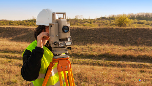
Our Surveying & Mapping Services
Comprehensive Surveying and Mapping Solutions
Accurate surveying and mapping form the foundation of numerous industries, from land development and infrastructure planning to environmental assessments. These precise measurements empower informed decision-making, optimal resource allocation, and risk mitigation. At Mapulator, we recognize the critical role of surveying and mapping and provide specialized solutions to meet diverse needs.
Mapulator Key Features for Surveying & Mapping
Tailored Solutions for Your Needs
Dive into Mapulator’s specialized services designed to meet your unique surveying and mapping requirements. Experience the ease of accurate land area calculations, precise distance measurements, and customizable mapping solutions—all at your fingertips.
Land Surveys
Surveyors can use Mapulator to accurately measure and map land parcels, helping define property boundaries, resolve disputes and create cadastral records.
Disaster Response
During emergencies or natural disasters, Mapulator can assess damage, map affected areas and plan relief efforts, facilitating efficient response and recovery operations.
Land Use Planning
Urban planners and municipal authorities can use Mapulator for land use planning, zoning decisions, and infrastructure development by providing precise measurements of land parcels and features.
Cartography
Surveying Companies can utilize mapulator for Mapmaking, encompassing the design and production of maps for various uses, including navigation, education, and visual representation.
Why Choose Mapulator?
Simplified Technology for Surveying Companies
With Mapulator, you’re not just getting a tool; you’re gaining a trusted partner. Our commitment to accuracy, efficiency and user satisfaction sets us apart. Experience the peace of mind that comes with knowing you have the best in the business on your side.